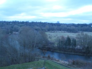
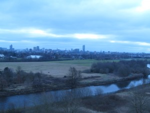
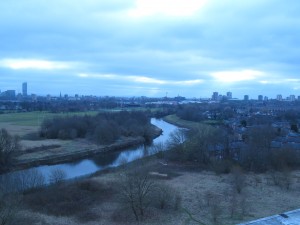
This is what Kersal Moor looks like today, but not for long as works are starting to allow the green area in the foreground to become a managed flood plain and the whole level is to be dropped by several metres! These photos were taken from the top of Kersal Flats which now stand between the position that William Wyld would have been in and the view of the Moor. In fact this area is not marked on modern maps as Kersal Moor at all, and is what we used to call ‘The Cliff’ when we lived near by. Kersal Moor as is today lies perhaps a quarter of a mile behind the vantage point from which these photos were taken. However in the 1800’s this area and the Moor were one large expanse of green moorland, and the green expanse seen on these photos is where the Chartists gathered in 1838 to demand their rights to vote and other basic human rights.


That is not Kersal Moor.
Those pictures are Kersal Dale and the old Manchester Racecourse
Hi there. We think Kersal Moor ran into what is now called Kersal Dale. Both the 1820 and 1852 paintings are titled as the view from Kersal Moor. We also think that the race course was behind the view in the paintings, which we got from Alice Searle’s booklet of the Friends of Kersal Moor. However nothing is certain so as part of the project we are hoping to work with a social archeologist to check the records as best we can. Just waiting on final confirmation of some funding to support this. Best EII
Hello
the Racecourse moved at various points. It was originally on Kersal Moor (off Moor lane) and moved to Manchester Racecourse at Castle Irwell for the last time in 1901 (but there were moves in between).
The paintings you refer to show the view “from” Kersal Moor. Thus they are the view sitting on Kersal Moor across Kersal Dale etc towards Manchester.
The Chartists met on Kersal Moor off Moor lane which was obviously much bigger than it is today.